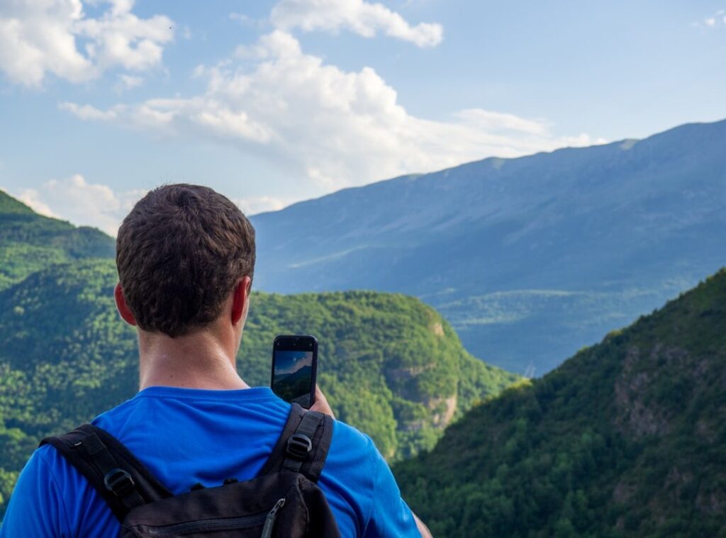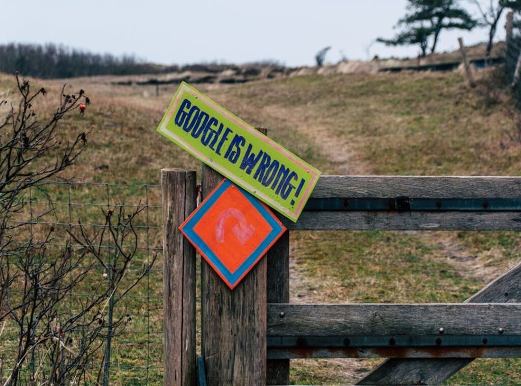

Ever stood at a fork in the trail, the sun dipping below the horizon, and felt that creeping doubt? You know, the kind that settles in when your phone’s about to die and you realize it’s your only lifeline. That anxiety is all too familiar.
Over-relying on one gadget is like walking a tightrope. Years of backcountry adventures taught me that true confidence isn’t in a single device. It’s in having a system, a blend of skills and tools that never leaves you stranded.
I’m talking about everything from age-old map reading to the latest route planning tools. Here, you’ll dive into a guide that arms you with the know-how to get through any wild space. Ready to ditch the uncertainty?
Let’s build that fail-safe plan together.
Map and Compass: The Real Navigators
Let’s get one thing straight. Map and compass aren’t just backup tools. They’re the foundation of navigation.
Forget your phone. It dies. It loses signal.
But a map? A compass? Always ready.
Reading a topographic map feels like unlocking a secret code. Those contour lines? They tell you about elevation.
Scale? That’s your distance guide. And legends?
They reveal water sources and trail types. It’s like having a conversation with the land. Are you listening?
Now, about the compass. It’s not just about pointing north. It’s about aligning your map with the real world.
Then there’s taking a bearing. This is where you pinpoint a distant landmark and march confidently towards it. Pro tip: practice this skill even when you’re not lost.
It makes you feel invincible.
Picture this: your phone’s dead. You’re on a trail. How do you get out?
First, orient your map using your compass. Find north. Check your current location between two known spots.
Maybe it’s a hill and a river. Now, take a bearing towards a road you know is safe. Simple?
Yes. That’s the beauty of these route planning tools. They keep you moving without the digital crutch.
And if you want to dive deeper, check out Avoiding Navigation Mistakes Trails. It’s packed with strategies to keep your path clear. So next time you step into the wild, leave the tech behind.
Trust in the map and the compass. They never disappoint.
The Digital Toolkit: Navigating Nature with GPS & Apps
Let’s face it, digital tools are a hiker’s new best friend. They’re not a replacement for traditional skills, though. You still need to know how to read a map and use a compass.
But when used correctly, these gadgets are solid. Take dedicated handheld GPS devices, for instance. They’re rugged, have superior battery life, and boast excellent satellite reception.
On the downside, they’re pricey and come with a steeper learning curve. You might spend hours fiddling with settings when you could be enjoying the trail.
Smartphone navigation apps are a different beast. They’re convenient, packed with features, and we all have our phones glued to our hands anyway. But (and it’s a big but), they drain your battery faster than you can say “lost in the woods.” And those screens?
Not exactly built for the elements. That’s why downloading offline maps is a non-negotiable. Without them, most apps are as useful as a chocolate teapot without a cell signal.
Then there are satellite messengers like Garmin inReach or SPOT. They’re a nifty hybrid tool for safety and navigation. With SOS capabilities and basic tracking functions, they give peace of mind when you’re out of cell range.
But again, they shouldn’t replace knowing what to do in an emergency.
For planning your hiking routes, sometimes the best free online route planners in 2026 can be handy. It’s all about having options. Are we relying too much on gadgets?
Maybe. But considering the alternatives, I’d rather carry a bit of tech and keep my adventures safe and well-organized. In the end, aren’t route planning tools just another way to connect with nature, ensuring we’re exploring smartly?
The Layered System: Analog Meets Digital for Fail-Proof
When it comes to navigation, redundancy is king. Why rely on just one method when you can use a blend? The goal of a solid navigation system is to eliminate single points of failure.

Trust me, I’ve been out there when tech fails you, and it’s not pretty. So, let’s talk about how to set yourself up for success with route planning tools.
At home, start with a digital platform to plan your route. This is where you fine-tune every detail. Then, print a physical map of that route. (Yes, paper still has its place.) Load the GPX file onto a phone app and maybe even a dedicated GPS.
It’s all about layers, like a good lasagna. Each part supports the other.
On the trail, your smartphone is your quick-check buddy. Just don’t rely on it for the whole trek. Use a dedicated GPS or a watch to record your primary distance and track.
This conserves your phone’s battery for when you really need it. Keep that physical map in a waterproof pocket for easy access. It’s your backup plan.
Your safety net.
Here’s a sanity-saving tip. At every major trail junction or landmark, pull out the physical map and compass. Confirm your digital readings.
This isn’t just good practice; it sharpens your analog skills and catches digital errors before they spiral into bigger issues. Old-school methods still have their place.
For more on using gps hiking best practices, check out this guide. It’s all about blending the best of both worlds. Keep your options open, and you’ll never find yourself lost in the wild.
What’s in Your Pack? Tailoring Your Tools to the Trek
Let’s be honest, route planning tools aren’t one-size-fits-all. They depend on the trip’s remoteness, duration, and complexity. Ever been stuck with a dead phone on a trail?
Yeah, it’s not pretty. For the day hiker on well-marked trails, a fully charged phone with an app (offline maps downloaded) and a physical park map should do the trick. Easy, right?
But what if you’re the weekend backpacker in a national forest? Then you better add a portable power bank, a physical topographic map, and a quality compass to your pack. Trust me, you don’t want to rely on just your phone out there.
A dead battery in the woods feels like a bad horror movie setup.
Now, for those brave enough to go off-trail or start on a thru-hiking adventure, a full layered system is non-negotiable. You need a dedicated GPS, a satellite messenger, and multiple physical maps, all backed up by a reliable compass. Picture this: navigating untouched wilderness while listening to the rustle of leaves beneath your boots.
That’s serenity, but only with the right gear.
So, what’s in your pack? Are you prepared for the adventure you’ve chosen? Choose wisely.
Embrace Navigation Without Fear
Fear of getting lost? It’s real, but totally beatable with the right prep. A layered system blending trusty maps and compasses with modern digital power is your ticket.
This combo turns doubt into confidence, letting you explore further and safer.
Want to conquer that fear? Take action. Buy a compass and practice in a local park.
Download offline maps for your next hike. Your adventure awaits with the right route planning tools. Ready to step up?
Grab these tools now and plan your next trip with unshakeable confidence. Feel the transformation as you get through freely.
 Outdoor Skills Instructor
There is a specific skill involved in explaining something clearly — one that is completely separate from actually knowing the subject. Gerald Lopezainab has both. They has spent years working with camp setup essentials in a hands-on capacity, and an equal amount of time figuring out how to translate that experience into writing that people with different backgrounds can actually absorb and use.
Gerald tends to approach complex subjects — Camp Setup Essentials, Core Outdoor Skills and Tactics, Hidden Gems being good examples — by starting with what the reader already knows, then building outward from there rather than dropping them in the deep end. It sounds like a small thing. In practice it makes a significant difference in whether someone finishes the article or abandons it halfway through. They is also good at knowing when to stop — a surprisingly underrated skill. Some writers bury useful information under so many caveats and qualifications that the point disappears. Gerald knows where the point is and gets there without too many detours.
The practical effect of all this is that people who read Gerald's work tend to come away actually capable of doing something with it. Not just vaguely informed — actually capable. For a writer working in camp setup essentials, that is probably the best possible outcome, and it's the standard Gerald holds they's own work to.
Outdoor Skills Instructor
There is a specific skill involved in explaining something clearly — one that is completely separate from actually knowing the subject. Gerald Lopezainab has both. They has spent years working with camp setup essentials in a hands-on capacity, and an equal amount of time figuring out how to translate that experience into writing that people with different backgrounds can actually absorb and use.
Gerald tends to approach complex subjects — Camp Setup Essentials, Core Outdoor Skills and Tactics, Hidden Gems being good examples — by starting with what the reader already knows, then building outward from there rather than dropping them in the deep end. It sounds like a small thing. In practice it makes a significant difference in whether someone finishes the article or abandons it halfway through. They is also good at knowing when to stop — a surprisingly underrated skill. Some writers bury useful information under so many caveats and qualifications that the point disappears. Gerald knows where the point is and gets there without too many detours.
The practical effect of all this is that people who read Gerald's work tend to come away actually capable of doing something with it. Not just vaguely informed — actually capable. For a writer working in camp setup essentials, that is probably the best possible outcome, and it's the standard Gerald holds they's own work to.