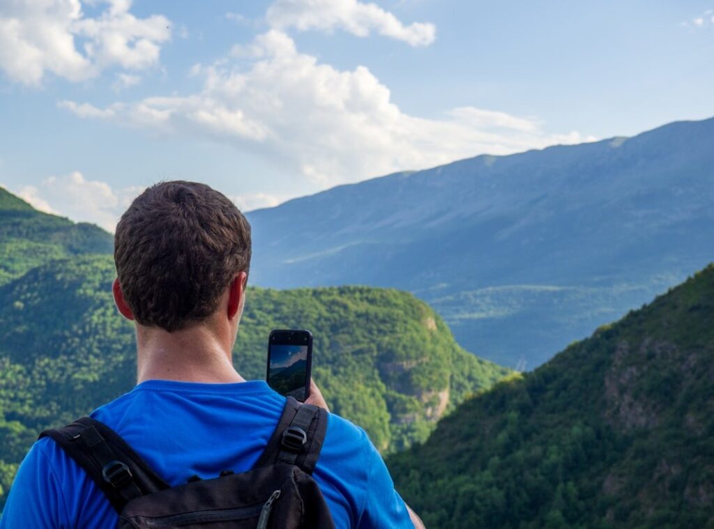
Lost in the backcountry with no phone signal. That’s the moment you realize how key a good map is. Trust me, I’ve been there.
This isn’t just theory. It’s real. When you’re out there, a topographic map resources guide is your lifeline.
I’ve spent years navigating the wild. A map beats any gadget.
Why? Because when tech fails (and it will), your map won’t. You want the best, right?
Free, paid, digital, physical (I’ve) got you covered. This article delivers. I’ve tested these resources in the field.
They work. You’re getting the full scoop on how to choose the right tool for any mission.
So, ready to stop relying on luck? Let’s dive into the important details that could make or break your next adventure.
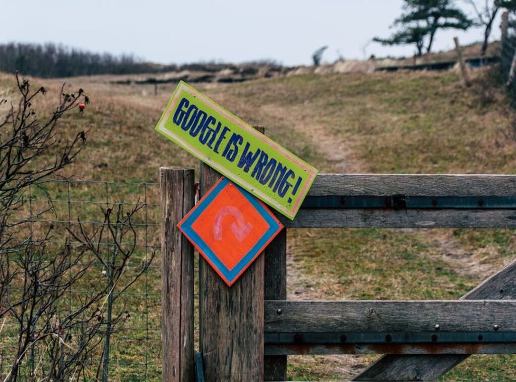
Why GPS Falls Short: The Real Need for Topo Maps
I’ve been there, relying on GPS, only to find myself in a canyon with no signal. It’s frustrating. A topographic maps guide offers what GPS can’t: contour lines, terrain features, and elevation data.
These are key. Sure, GPS shows roads, but it misses the steepness of the terrain and natural obstacles. Have you ever tried navigating a dense forest with just a digital map?
Good luck.
What happens when your device fails or the battery dies? You’re stranded. A paper map can’t run out of juice or shatter on a rock.
Topo maps reveal water sources and vegetation, which can mean the difference between life and, well, a miserable trek. They aren’t just backup. They’re the main navigation tool, with GPS as a sidekick.
If you’re serious about the outdoors, you need both tools. Want to know more about digital aids? Check out this top 5 apps trail navigation to complement your topo map.
But never underestimate the power of paper when tech lets you down.
Topo Maps for Navigators: Your Guide to the Best Free Resources
You want topographic maps? I’ve got opinions, and you’re going to thank me for them. Let’s dive into the topographic maps guide and cut through the noise.
First up, CalTopo. If you’re serious about trip planning, you need this. Nobody does custom layers like they do.
You can play with slope angles, manage your routes. It’s for people who love tweaking details. Yes, it’s got a learning curve, but trust me, once you figure it out, it’s unmatched and free.
Best for precision planners and those who ski backcountry. Why settle for less?
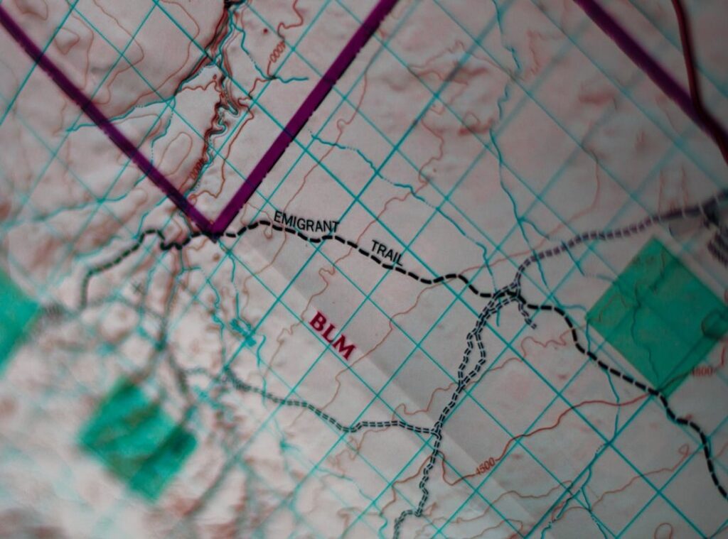
Then there’s USGS TopoView. The official source. Imagine finding historical and current topographic maps rolled into one platform.
You can download high-resolution GeoPDFs for any area in the U.S. It’s like having the keys to the entire country in your hands. What’s cooler than turning back time to see how the land used to look?
Best for history buffs and government-issue map lovers.
Now, AllTrails (the free version) isn’t exactly for the hardcore off-trail adventurers, but it’s handy for established trails. It comes with social features, letting you dip into the collective wisdom of fellow hikers. But honestly, don’t rely on it for deep wilderness treks.
It’s useful, but know its limits. Best for casual hikers who like a little social interaction on the side.
Sometimes, I think we forget that maps are more than paper and pixels. They’re stories. Wonder how to get the most out of them?
Check out topo maps how to use. This guide’s not just for beginners. Whether you’re figuring out your next adventure or diving into mapping for the first time, these tools set you up.
You in?
Premium Platforms: Worth the Cost?
Why pay for navigation tools when there are free options? It’s a fair question. But if you’ve ever found yourself deep in the woods without cell service, scrambling to figure out where you are, you know the value of smooth offline map access.
Paid services offer more than just offline maps. They provide detailed private and public land boundary layers, specialized overlays like hunting units or wildfire data, and dedicated user support. These features can be lifesavers (literally and figuratively) when you’re out in the wild.
Take Gaia GPS, for example. This tool is a godsend for hikers and overlanders. Its user-friendly interface and extensive map catalog pull from various sources.
You get strong recording and routing features too. Honestly, it’s probably the best all-around paid tool for most outdoor enthusiasts.
Then there’s onX Maps, which stands out for its industry-leading land ownership data. It’s built for hunters, anglers, and property researchers. If you’re one of those folks, this tool is tailored for you.
With onX, you get the inside scoop on who owns what land, which can be key for planning your adventure.
Now, let’s talk about printing. You might wonder why you’d need printed maps in this digital age. But when your device dies or glitches out, you’ll be glad you invested in something like MyTopo.
These services let you create custom, durable physical maps from digital platforms. It’s like having a backup plan in your backpack.
So, if you’re serious about navigating the great outdoors, consider investing in these tools. They’re worth it. And if you’re curious about more planning route navigational tools, check out what else is out there.
In the end, it all boils down to how much you value your peace of mind on the trail.
Important Physical Maps: Your Non-Negotiable Backup
Ever been out in the wilderness, only to realize your GPS is dead? (I have.) That’s why every serious outdoor adventurer must carry a physical map of their operational area. No exceptions. A waterproof, tear-resistant map is your best friend when tech fails.
I learned this lesson the hard way. You need something durable, like Tyvek, that doesn’t crumble under pressure.
The scale matters too. A 1:24,000 scale is ideal. It shows detail without overwhelming you.
And folks, don’t grab that dusty map from 1995. Get a recent one. You don’t want to be navigating trails that no longer exist or missing new paths.
Where to get these lifesavers? National Geographic Trails Illustrated maps are the gold standard for popular national parks and forests. Their durability and detail are unmatched.
Local outdoor gear shops are another great source, especially for area-specific maps you won’t find online. Trust me, I’ve found some gems there.
And let’s not forget the USGS Store. You can order official printed quadrangle maps directly. They might not have the pizazz of Nat Geo maps, but they get the job done.
Storing your map properly is just as important. Toss it in a map case or secure pack pocket. You don’t want it flying away with the first gust of wind.
So, is your map ready for your next adventure? This topographic maps guide ensures you never get caught off guard. Be prepared.
Because out there, a map isn’t just paper. It’s freedom.
Conquer the Wild with Confidence
You don’t want to be the one stuck in the woods, do you? Navigating the wilderness isn’t just a skill; it’s a necessity. Digital tools offer precision, but they can fail.
That’s why combining them with a physical map is smart (and key). The best tools are the ones you know and trust when you’re out there. So here’s what you do.
Choose one free digital tool from this topographic maps guide. Then, order a waterproof physical map for that area. Simple, right?
Don’t wait until you’re lost. Prepare now. Your next adventure depends on it.
 Founder & CEO
Ozirian Esthoven has opinions about hidden gems. Informed ones, backed by real experience — but opinions nonetheless, and they doesn't try to disguise them as neutral observation. They thinks a lot of what gets written about Hidden Gems, Camp Setup Essentials, Wilderness Survival Approaches is either too cautious to be useful or too confident to be credible, and they's work tends to sit deliberately in the space between those two failure modes.
Reading Ozirian's pieces, you get the sense of someone who has thought about this stuff seriously and arrived at actual conclusions — not just collected a range of perspectives and declined to pick one. That can be uncomfortable when they lands on something you disagree with. It's also why the writing is worth engaging with. Ozirian isn't interested in telling people what they want to hear. They is interested in telling them what they actually thinks, with enough reasoning behind it that you can push back if you want to. That kind of intellectual honesty is rarer than it should be.
What Ozirian is best at is the moment when a familiar topic reveals something unexpected — when the conventional wisdom turns out to be slightly off, or when a small shift in framing changes everything. They finds those moments consistently, which is why they's work tends to generate real discussion rather than just passive agreement.
Founder & CEO
Ozirian Esthoven has opinions about hidden gems. Informed ones, backed by real experience — but opinions nonetheless, and they doesn't try to disguise them as neutral observation. They thinks a lot of what gets written about Hidden Gems, Camp Setup Essentials, Wilderness Survival Approaches is either too cautious to be useful or too confident to be credible, and they's work tends to sit deliberately in the space between those two failure modes.
Reading Ozirian's pieces, you get the sense of someone who has thought about this stuff seriously and arrived at actual conclusions — not just collected a range of perspectives and declined to pick one. That can be uncomfortable when they lands on something you disagree with. It's also why the writing is worth engaging with. Ozirian isn't interested in telling people what they want to hear. They is interested in telling them what they actually thinks, with enough reasoning behind it that you can push back if you want to. That kind of intellectual honesty is rarer than it should be.
What Ozirian is best at is the moment when a familiar topic reveals something unexpected — when the conventional wisdom turns out to be slightly off, or when a small shift in framing changes everything. They finds those moments consistently, which is why they's work tends to generate real discussion rather than just passive agreement.