If you’re searching for practical guidance on outdoor skills, wilderness survival tactics, trail mapping, and camp setup essentials, you’re in the right place. This article is designed to give you clear, field-tested strategies you can actually use—whether you’re planning a weekend escape or preparing for a more remote backcountry expedition.
We focus on what truly matters outdoors: how to read terrain confidently, choose the right campsite, build reliable shelter, and stay prepared when conditions change fast. You’ll also discover insights on exploring lesser-known camping destinations like Hrafntor Ridge, Eldermist Hollow, and Varyn’s Crossing, where preparation and skill matter more than crowds and convenience.
Our guidance draws from experienced survival instructors, seasoned trail mappers, and outdoor safety research to ensure every recommendation is practical and dependable. By the end, you’ll have a clearer plan, stronger confidence, and the essential knowledge to make your next outdoor adventure both safe and unforgettable.
Beyond the Crowded Campground
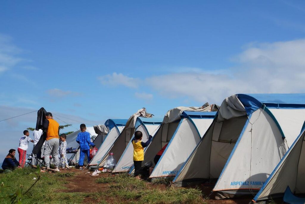
You know the drill. You plan months ahead, refresh booking pages, and still end up shoulder-to-shoulder with strangers. The generators hum. The Bluetooth speakers compete. So much for peace and quiet. Campsites fill fast, privacy disappears, and the promise of wilderness feels like a marketing slogan.
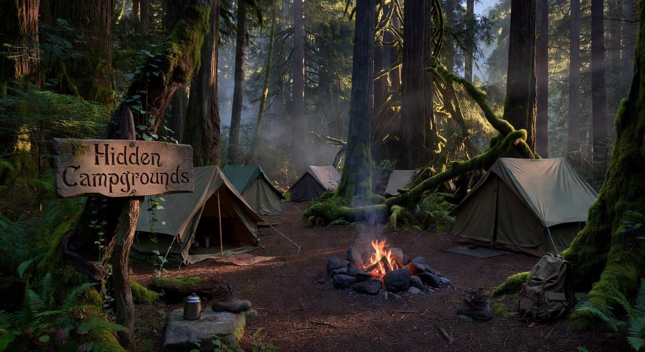
This guide offers something different. Not a recycled list of lesser known camping destinations, but a framework for finding your own off-grid sanctuary. Because REAL solitude is earned, not reserved.
If you crave escape, the true adventure isn’t the campsite. It’s the discovery. Stop settling for crowded compromises. Start exploring.
The Art of Digital Scouting: Using Maps to Uncover Secluded Spots
Digital scouting is the modern camper’s secret weapon. Instead of driving for hours hoping to “stumble upon” a quiet site (spoiler: everyone else had that idea too), you can use tools like Gaia GPS, onX, and CalTopo to locate hidden gems before you leave home. Think of it as reconnaissance—minus the camo face paint.
First, turn on Public Land Layers such as USFS (U.S. Forest Service) and BLM (Bureau of Land Management). These layers show federally managed lands where dispersed camping—camping outside developed campgrounds—is often permitted. For example, large swaths of BLM land near the Alvord Desert in Oregon allow wide-open, low-traffic camping if you follow local regulations (BLM.gov). Start by zooming out to identify uninterrupted blocks of public land, then narrow your focus.
Next, enable Motor Vehicle Use Maps (MVUMs). These maps display which forest service roads are legally drivable. Look for secondary or spur roads branching off main routes; they often lead to quieter clearings. Cross-reference MVUM lines with satellite imagery to confirm the road is visible and not overgrown.
Then switch to Topographic and Satellite Layers. Topographic maps use contour lines to show elevation; widely spaced lines suggest flatter ground—ideal for tents. Satellite view helps you spot clearings near water (but camp at least 200 feet away, per Leave No Trace guidelines at LNT.org).
Finally, compare layers side by side. A flat clearing, on public land, accessible by a legal road? That’s your trifecta. Pro tip: drop pins for backup spots in case your first choice is taken (because even hidden gems sometimes have admirers).
Where to Look: Three Blueprints for Off-Path Campsites
Finding solitude isn’t luck. It’s method. I’ve learned that the hard way—after pitching a tent too close to a road once and listening to trucks rattle by all night (not exactly the wilderness soundtrack I wanted).
Blueprint 1: The National Forest Dispersed Site
Dispersed camping means camping outside designated campgrounds, usually free and without amenities. Start with a National Forest map. Locate a forest service road that spurs away from major highways. Drive slowly. Look for previously used clearings and existing stone fire rings—if fires are permitted in that ranger district. Always check local regulations first; restrictions change seasonally.
My mistake? Assuming all forests allow fires. One awkward conversation with a ranger later, I learned to verify before striking a match. Also, avoid creating new pullouts. If no hardened site exists, keep driving.
Pro tip: The farther from pavement (within reason), the quieter your night will be.
Blueprint 2: The Overlooked BLM Land
Bureau of Land Management areas often have fewer visitors and looser regulations than National Parks (though rules still apply). In high desert regions like the Owyhee Canyonlands, look for natural windbreaks—rock formations, low ridges, or shallow washes.
Use satellite imagery beforehand to spot unique geological features such as hoodoos or basalt cliffs. On arrival, check for firm ground. I once camped in what looked like solid earth—until rare rain turned it into adhesive mud. Lesson learned: desert soil lies.
Some argue BLM land feels barren compared to forests. But that openness offers vast night skies and quiet you can feel.
Blueprint 3: The Backcountry Hike-In
A topographic map shows elevation through contour lines. Widely spaced lines signal flatter ground—ideal for tents. Look a few miles beyond lightly used trailheads. Aim for flat benches 200 feet from water sources and trails.
I’ve made the rookie mistake of camping too close to water. Condensation soaked everything by dawn. Higher ground, slight breeze, better sleep.
The reward? Space, silence, and a campsite you earned step by step.
Essential Protocols for Undisturbed Wilderness Camping
Remote camping isn’t just “regular camping, farther out.” It demands heightened discipline because help is hours—or days—away. According to the Leave No Trace Center for Outdoor Ethics, improper waste disposal is one of the top causes of backcountry contamination. In pristine zones like the Frank Church–River of No Return Wilderness, that impact lingers for decades.
Leave No Trace in Practice
In remote areas, Leave No Trace means digging catholes 6–8 inches deep and at least 200 feet from water, trails, and camp (per U.S. Forest Service guidelines). Pack out everything—including food scraps. Orange peels and eggshells don’t “biodegrade quickly” at elevation (that’s a myth).
Water Sourcing and Purification
Before you go, study topographic maps for perennial streams and contour lines that indicate drainage. Then treat all water. The CDC confirms that filtration alone may not remove viruses; a robust system combining filtration and chemical purification is safest. (Yes, even if it looks crystal clear.)
Navigation and Redundancy
Phones fail. Batteries die. A 2023 survey by American Hiking Society found most lost hikers relied solely on digital maps. Carry:
- A physical map
- A compass
- A pre-planned bearing from your vehicle
Skeptics argue GPS is enough. But redundancy isn’t paranoia—it’s protocol. If you’re heading toward secret waterfalls and natural wonders off the beaten path, old-school navigation might be what gets you home.
Self-sufficient camping demands gear that works when roads end and signals fade. Start with your vehicle: reliable all-terrain tires with deep tread reduce punctures, a full-size spare prevents limp-outs, and basic recovery tools—traction boards, a steel shovel, tow straps—restore momentum in sand or snow (yes, even heroes get stuck).
At camp, distinguish car camping comforts from true off-grid systems. A 500Wh portable power station runs lights and GPS for days; a two-burner propane stove with wind guards ensures hot meals; rigid 7-gallon water containers secure hydration. Preparation equals freedom. Pro tip: test everything before heading to Alvord Desert, Oregon.
You’ve got the skills. Now escape the crowded campgrounds and claim your own space.
The real frustration wasn’t camping—it was competing for it.
Open a map and:
- Scan for lesser known camping destinations
- Trace access roads and water sources
- Mark backup sites
Your next adventure starts with one digital pin drop.
Ready for Your Next Off-Grid Adventure
You set out to find practical guidance on mastering outdoor skills, improving wilderness survival tactics, and discovering new places to camp with confidence. Now you have the insights to plan smarter routes, build efficient camp setups, and navigate the wild with clarity instead of uncertainty.
The truth is, most outdoor mishaps happen because people feel unprepared. Poor mapping, weak shelter setup, and lack of survival know-how can quickly turn an exciting trip into a stressful experience. You don’t want doubt creeping in when you’re miles from the trailhead—you want confidence.
That’s your advantage now.
Put these strategies into action by exploring lesser-known camping destinations like Coyote Ridge Basin, Whispering Juniper Flats, and Black Fern Hollow. Map your route carefully, pack with purpose, and practice your core skills before you go. Small preparation steps make a massive difference in the wild.
If you’re serious about upgrading your outdoor readiness, dive deeper into advanced trail mapping techniques, refine your survival systems, and commit to mastering one new wilderness skill before your next trip. Thousands of outdoor enthusiasts rely on proven field-tested guidance to camp smarter and safer.
Don’t wait until you’re in a tough spot to wish you had prepared better. Start planning your next trip today, sharpen your skills now, and step into the wilderness fully equipped and fully confident.